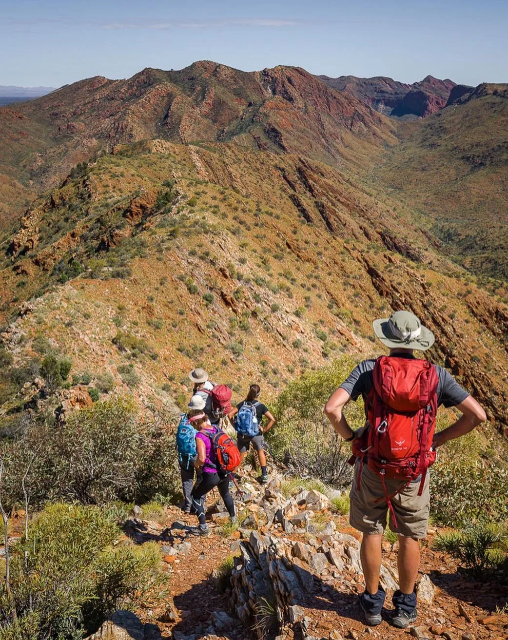
The Larapinta Trail, in the heart of the MacDonnell Ranges in Alice Springs, is a long walk that attracts walkers from all over the world. Famous for its tough terrain, stunning views and Aboriginal cultural significance, this 223 km long trail is a challenge and a reward. Before you start the adventure, the question on most people’s minds is, “How long does it take to walk the Larapinta Trail?”
In this article, we’ll look at how long it takes to walk the whole trail, what factors affect the duration and tips for your Larapinta Trek.
If you prefer a guided experience, a Larapinta Trail Tour is a great option. It has expert guides, transport, and pre-arranged campsites so you can walk and enjoy the views without the hassle of navigation and logistics.
An Overview
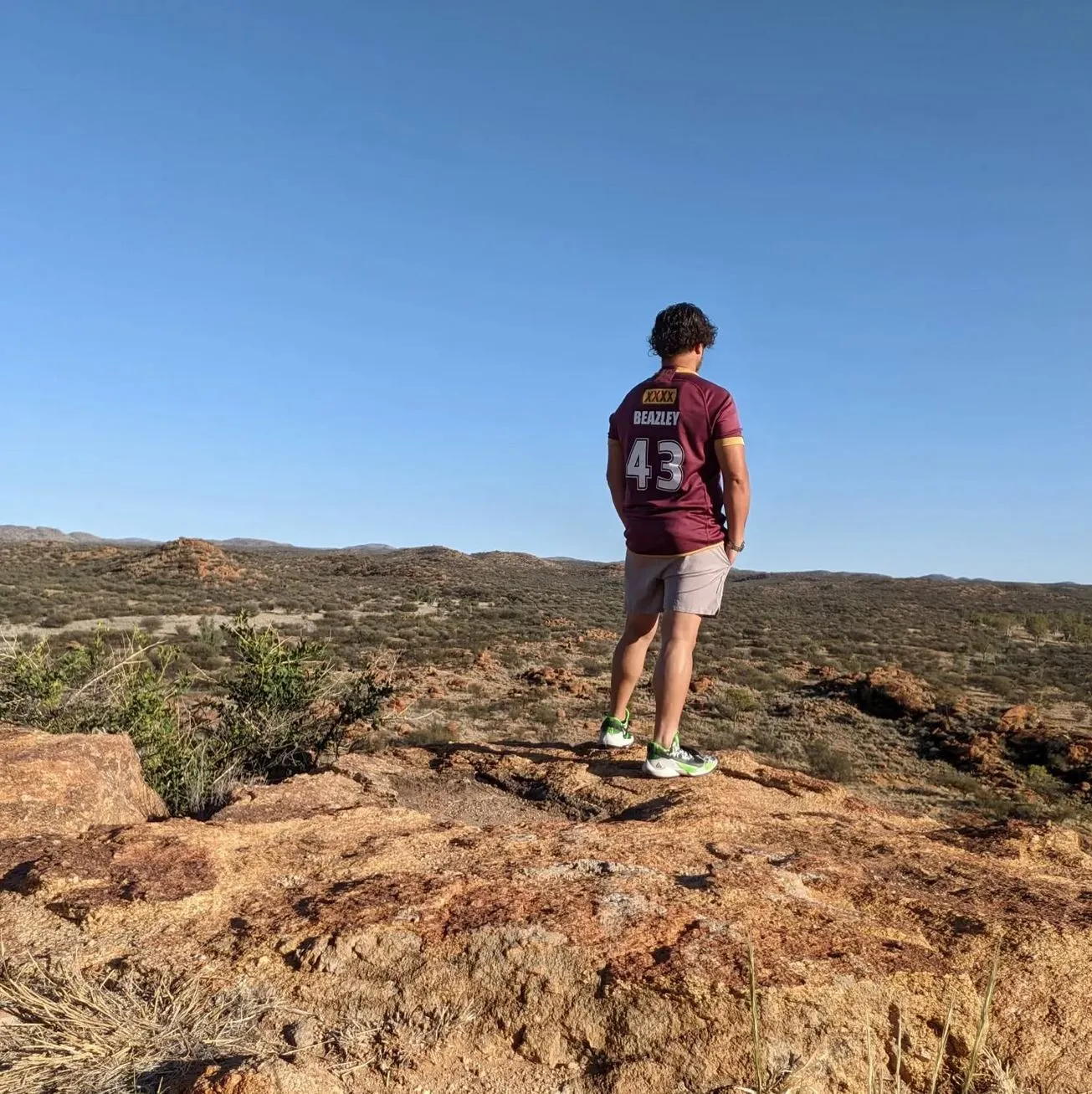
The Larapinta Trail runs from the old Alice Springs Telegraph Station to the top of Mount Sonder. It’s divided into 12 sections, each with its own challenges and views. You can walk the whole trail or just select sections depending on your time and experience. Some sections can be done in a day, but walking the whole trail requires a big time commitment.
Average Time to Walk
The time required to complete the Larapinta Trail varies based on the approach taken. Here’s a general breakdown of how long it takes:
| Type of Walk | Duration |
|---|---|
| Full Trail (230 km) | 12 to 20 days |
| Multi-Day Hike (2-6 sections) | 3 to 7 days |
| Single Section Hike | 1 day (4-12 hours) |
Full Trail (230 km)
If you’re doing the full 230 km Larapinta Trail, most people take 12 to 20 days to complete it. Experienced hikers with high fitness might do it in 12 to 14 days, but 15 to 20 days is more common, especially if the weather is rough or you just want to take it easy. This allows for rest days, side trails and time to soak up the views.
Multi-Day Hike (2-6 Sections)
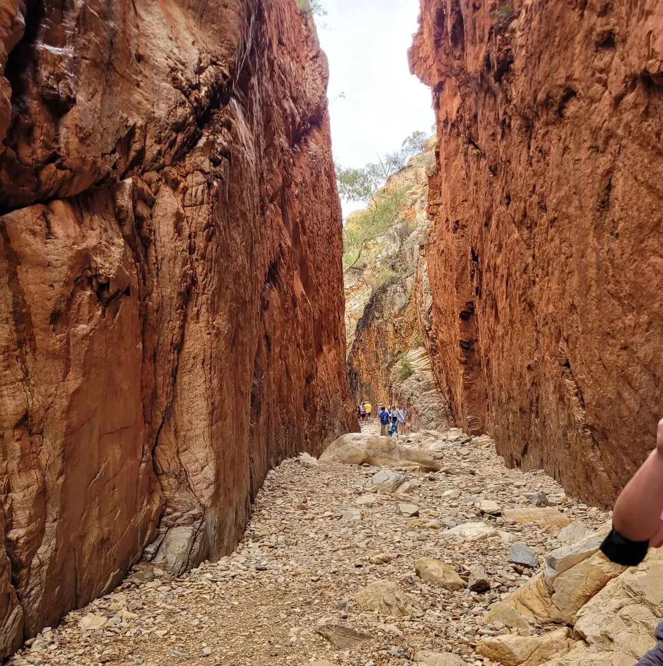
Not everyone has time to do the whole trail. Many hikers do 2 to 6 of the 12 sections over 3 to 7 days. Popular sections include the Standley Chasm to Ellery Creek or Ormiston Gorge to Mount Sonder. These multi-day hikes give you a taste of the Larapinta Trail without the full monty.
Single Section Hike
Day hikers can do the Larapinta Trail one section at a time. Each section varies in length and difficulty, some take 4 to 6 hours and others 10 to 12 hours. Popular sections include the Standley Chasm to Jay Creek and Ormiston Gorge to Glen Helen walks.
Suggested Itineraries
Here’s a suggested breakdown of timeframes for different hiking styles:
12-Day Itinerary (Fast-Paced, Experienced Hikers)
- Day 1: Alice Springs to Simpson’s Gap (23 km)
- Day 2: Simpson’s Gap to Jay Creek (24 km)
- Day 3: Jay Creek to Standley Chasm (13 km)
- Day 4: Standley Chasm to Birthday Waterhole (18 km)
- Day 5: Birthday Waterhole to Hugh Gorge (16 km)
- Day 6: Hugh Gorge to Ellery Creek (31 km)
- Day 7: Ellery Creek to Serpentine Gorge (14 km)
- Day 8: Serpentine Gorge to Serpentine Chalet Dam (28 km)
- Day 9: Serpentine Chalet Dam to Ormiston Gorge (29 km)
- Day 10: Ormiston Gorge to Glen Helen (14 km)
- Day 11: Glen Helen to Redbank Gorge (26 km)
- Day 12: Redbank Gorge to Mount Sonder (16 km)
20-Day Itinerary (Leisurely Pace, Includes Rest Days)
- Rest days are Standley Chasm, Ellery Creek and Ormiston Gorge.
- Daily walking distances are shorter, 10-15 km per day.
Best Time to Walk
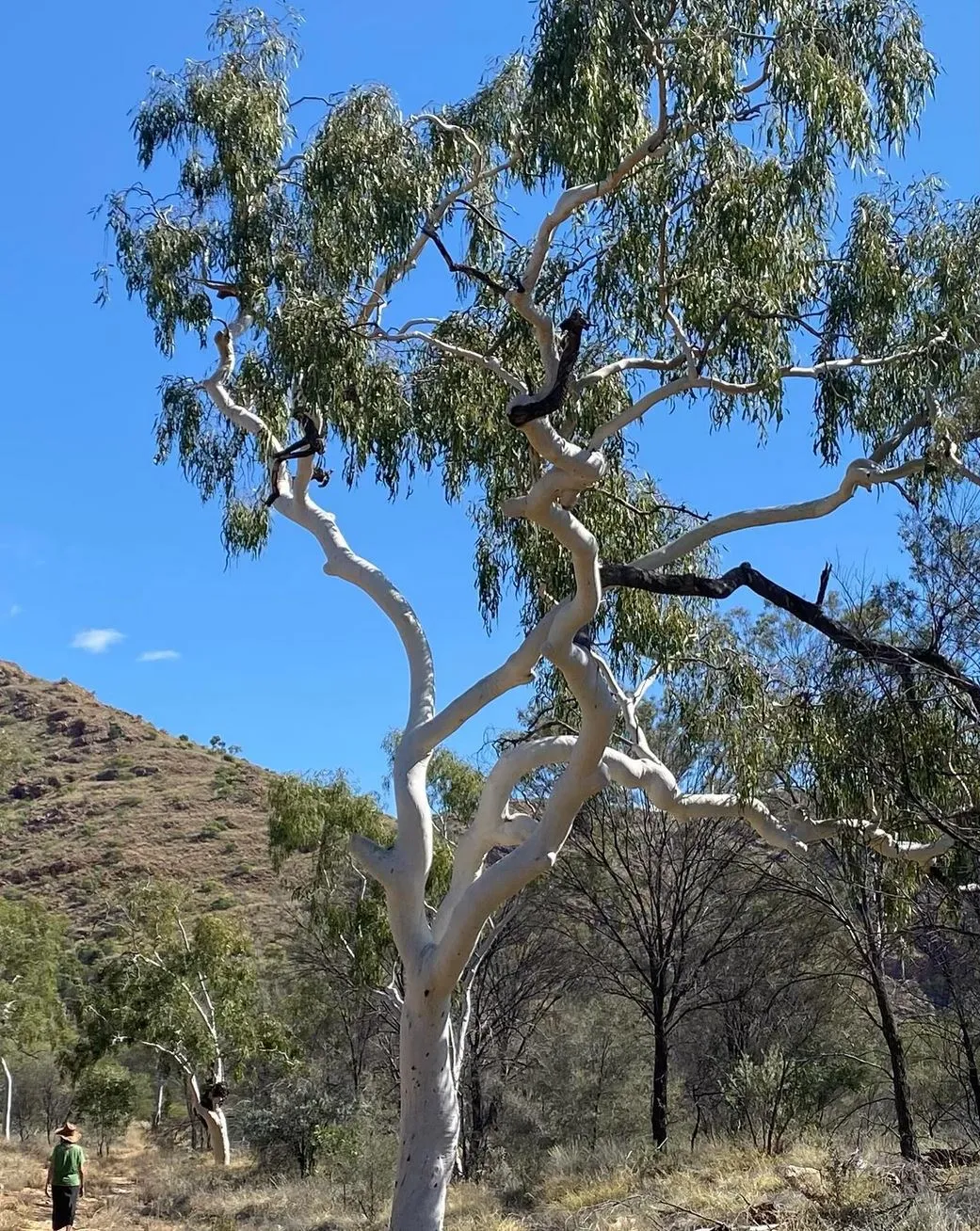
The best time to walk the Larapinta Trail is May to September. During this time, the weather is cooler, and conditions are more suitable for walking. Daytime temperatures are 10°C to 25°C, and nights can be cold, especially June and July. Walking in summer (October to March) is not recommended due to extreme heat which can reach 40°C.
Factors That Affect Hiking Time
Several things affect how long it takes to do the Larapinta Trail. Here are a few:
- Fitness Level and Experience: The Larapinta Trail Trek is tough, with rough sections, creek beds and dry river beds. Fit hikers and experienced hikers can cover more ground each day. Others may want to pace themselves and take a couple of days for tougher sections like Razorback Ridge or Finke River. Make sure your packing list includes the right gear – trail runners or hiking boots, day pack, camping gear and enough water (at least 3 litres per person per day).
- Weather Conditions: The Larapinta Trail can be brutal, with temperatures in the 40s during the day, especially in summer. The best time to hike is May to September, when it’s cooler and hot showers and camping spots are more enjoyable. Summer hiking makes the trail even harder as hikers face high temperatures and have to carry more water bottles and access to water sources (water tanks along the trail).
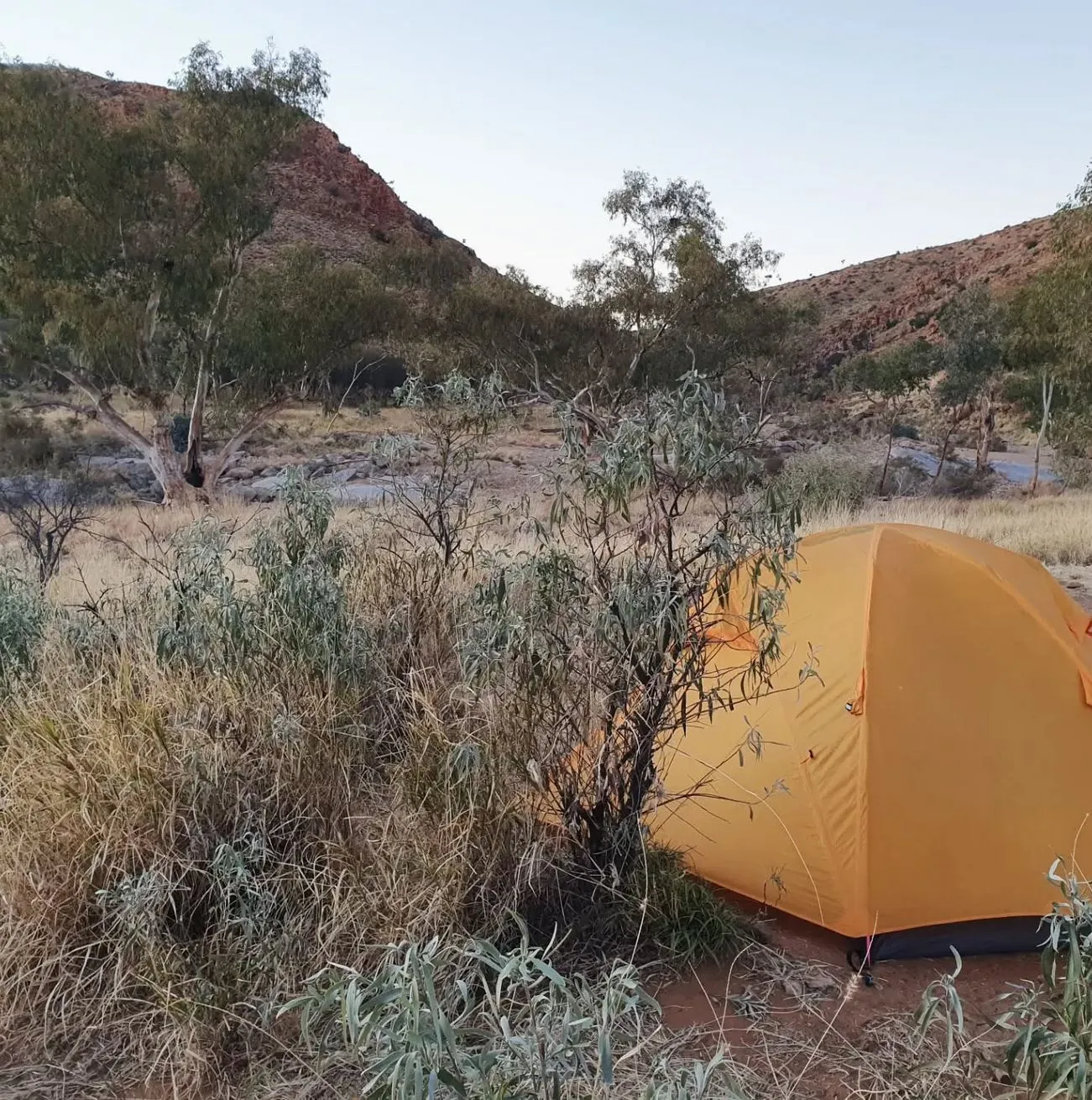
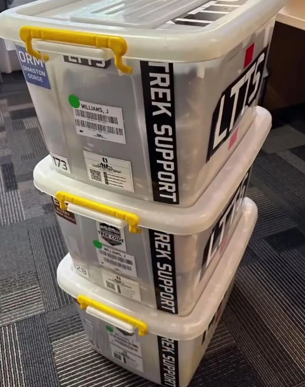
- Camping and Resupply: The camping spots along the trail are a big part of your journey. Sections of the trail like Glen Helen Gorge, Serpentine Chalet Dam and Mulga Camp have designated camping areas with composting toilets or drop toilets. If you’re doing independent hiking, make sure to check the park’s booking system for camping fees and food drop locations (or Larapinta Food Drops) for food and dehydrated meals resupply.
- Hiking Pace and Hiking Time Per Day: Hiking pack weight affects your speed. For example, carrying camp beds, a camp kitchen, and extra gear like a satellite phone will slow you down. Hiking light with trail runners, a food box, and a minimalist day pack will allow you to cover more ground. For independent hikers, there are also optional side trips like Inarlanga Pass and Ghost Gum Flat, where you can get stunning views but should add extra time.
Plan Your Adventure
Whether you’re doing a couple of days or the whole trail, there are many ways to customise your experience:
Camping Gear and Resupply
If you’re doing a multi-day section or the whole trail, you’ll need to pack smart. Carry a food drop or food dehydrator for easy meals each day. Don’t forget your camp beds, hot water and a water bottle – hydration is key. There are designated resupply spots – Ellery Creek Big Hole, Fringe Lily Creek and Serpentine Chalet Dam.
Transport and Trailheads
Larapinta Trail Transport can get you to the start of a section or back to Alice Springs. For camping fees, trail heads and accommodation before or after your hike make sure to book in advance.
Hiking Safety and Navigation
The trail is well-marked, but you should have a satellite phone for emergencies especially in areas like Razorback Ridge, Euro Ridge and Jay Creek where phone reception may be limited. Know where the showers are and make sure your physical fitness level matches the trail.
Conclusion
The Larapinta Trail is an amazing hike but the time it takes is dependent on your fitness level, pace and which sections you do. Whether you hike for a few days or go on the whole trail, you will see incredible ridge lines, wildflowers, and cultural sites. Give yourself time to enjoy the views and the rugged landscape from Glen Helen Gorge to Ellery Creek North, and make sure you have the right gear and provisions, including a day pack, food caches and water tanks to keep you going.
FAQ
How long is the Larapinta Trail?
223km from Telegraph Station to Redbank Gorge and 12-14 days.
When can I hike the Larapinta Trail?
May to September, when it’s cooler, and hiking is more manageable.
Can I resupply along the Larapinta Trail?
Yes, food drop locations and Larapinta Food Drops at campsites like Ellery Creek Big Hole, Serpentine Chalet Dam and Mulga Camp.
Do I need to book campsites in advance?
Yes, campsites along the trail need to be booked in advance, especially for independent hikers or popular campsites.
What level of fitness is required to hike the Larapinta Trail?
The trail is physically demanding, so it is best suited for fit hikers or those who have done challenging sections of multi-day hikes. Fitness level will determine how long it takes to complete the trail.
